 We're in beta! If you find a bug or have feedback, let us know in our

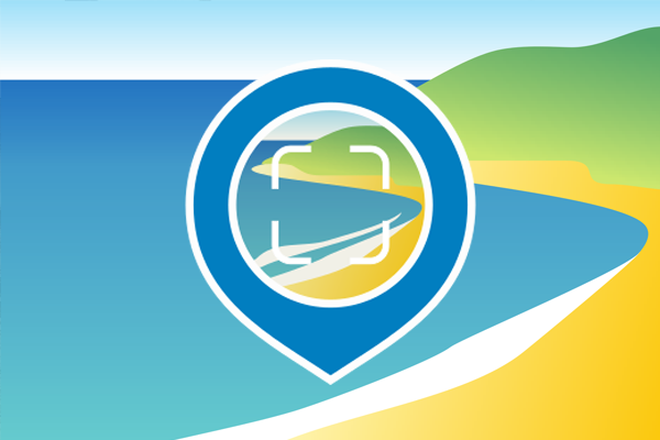
CoastSnap
To capture our changing coastlines
- Ongoing
More Information
CoastSnap is a global Citizen Science project to capture changing coastlines. With the Citizen Science App, users can create timelines of coasts and record their development. Observing and uploading photos of the same location into the CoastSnap App helps researchers to understand how coastlines are changing over time.
CoastSnap relies on repeat photos at the same location to track how the coast is changing over time due to processes such as storms, rising sea levels, human activities and other factors. Using a specialised technique known as photogrammetry, CoastSnap turns photos of the Citizen Scientists into valuable coastal data that is used by coastal scientists to understand and forecast how coastlines might change in the coming decades. Photogrammetry enables the position of the coastline to be pinpointed from the Coastsnaps to an accuracy similar to that of professional coastal survey teams.
Ticket Required: No
Minimum Age: 13
Languages: English