 We're in beta! If you find a bug or have feedback, let us know in our

From Backyard to Space: Family Citizen Science
Empower people to do citizen science using their own devices.
- Ongoing
More Information
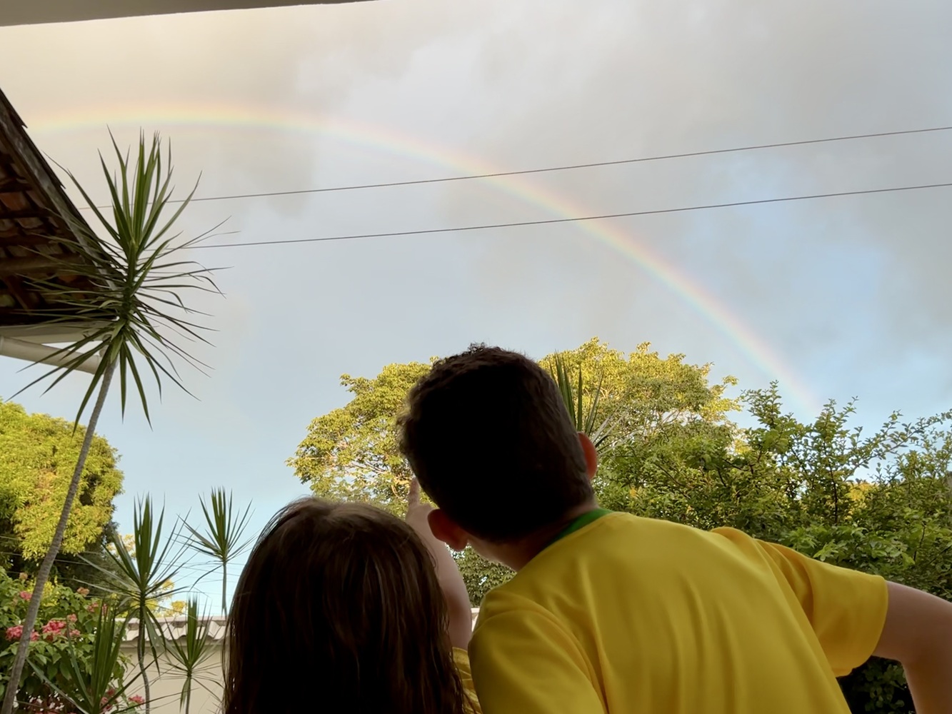
This is a pioneering, family-led citizen science project that originated in rural Igarassu, Pernambuco, Brazil. Conceived by two young researchers—Sandeji (age 7) and Maria Clara (age 5)—with the enthusiastic, active participation of their 2-year-old toddler sister, Emília Valentina, and the full support of their parents, the initiative demonstrates how families can drive the collection of high-quality ecological and geospatial data directly from their own backyards.
Using drone-based aerial photogrammetry via the GeoNadir platform, the family mapped a flight path connecting their home to their grandmother’s house, transforming a personal journey into a standardized cartographic dataset designed as a replicable base model, allowing participants to adapt it to their own surroundings using the same guidelines. The project integrates these high-resolution aerial maps from GeoNadir with ground-level biodiversity monitoring on iNaturalist and satellite validation protocols through NASA’s GLOBE Observer.
Achieving a unique interdisciplinary approach, the project blends science, literature, and digital art. To ensure methodological transparency and project reproducibility, we structured a detailed chronological timeline. This historical record dates every stage completed—from the conception of the original idea to the phases of submission, approval, and official affiliation with the global platform. This timeline serves as a navigation map that documents the pace of the investigation’s evolution. Leveraging generative Artificial Intelligence (AI) for digital design, the family displayed this trajectory in an attractive way, associating it with two songs they consider the audio representation of their project: “Asa Branca” and “Ode to Joy”, performed on the flute by Sandeji.
Global Impact & Community Benefits: By joining our mission, participants anywhere in the world can leverage these technological tools to drive sustainable changes in their own local communities, while directly contributing to global scientific research:
• Global Impact with iNaturalist: Mapping flora and fauna in your backyard or neighborhood creates a vital local biological database. This open data helps scientists track species distribution globally, while allowing land managers and food producers worldwide to detect invasive pests early, identify native pollinators (like wild bees), and discover soil indicator plants that reveal land health without expensive laboratory testing.
• Global Impact with GeoNadir & GLOBE Observer: Utilizing aerial drone mapping and NASA satellite protocols allows families to monitor environmental shifts from above. These geospatial datasets provide critical “ground truth” data for international climate scientists to calibrate space satellites, while empowering local communities to track vegetation health, protect vital water sources against soil erosion, and manage their local landscapes sustainably.Wherever you are, your backyard observations can protect global biodiversity, advance international climate science, and support sustainable local development!
Our mission is to inspire families around the world to explore, map, and protect their ecosystems through authentic cultural and scientific exchange.
Ticket Required: No
Minimum Age: 13
Languages: English