 We're in beta! If you find a bug or have feedback, let us know in our

Urban Forest Map
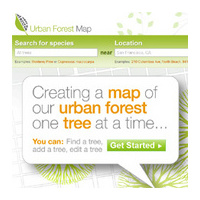
The Urban Forest Map is a collaborative effort to map every tree in the city of San Francisco
- , California
- United States
- Ongoing
More Information
The Urban Forest Map is a collaborative effort to map every tree in the city of San Francisco. As a citizen forester, you can get involved by searching for trees, verifying records, and by adding the trees in your neighborhood!
Along the way, researchers will use this data to calculate the environmental benefits that the trees are providing – how many gallons of storm water they are helping to filter, how many pounds of air pollutants they are capturing, how many kilowatt-hours of energy they are conserving, and how many tons of carbon dioxide they are removing from the atmosphere. The information we gather will help urban foresters and city planners to better manage trees in specific areas, track and combat tree pests and diseases, and plan future tree plantings. Climatologists can use it to better understand the effects of urban forests on climates, and students and citizen scientists can use it to learn about the role trees play in the urban ecosystem.
The goal of Urban Forest Map is to provide a one-stop repository for tree data, welcoming information from any agency or group and enabling and celebrating citizen participation. Together, we’ll work toward building a complete, dynamic picture of the urban forest.
Ticket Required: No
Minimum Age: 13
Languages: English