 We're in beta! If you find a bug or have feedback, let us know in our

From the Rural Farm to the Global Stage: Family Citizen Science
Scientific exchange via biodiversity and drone mapping.
- Ongoing
More Information
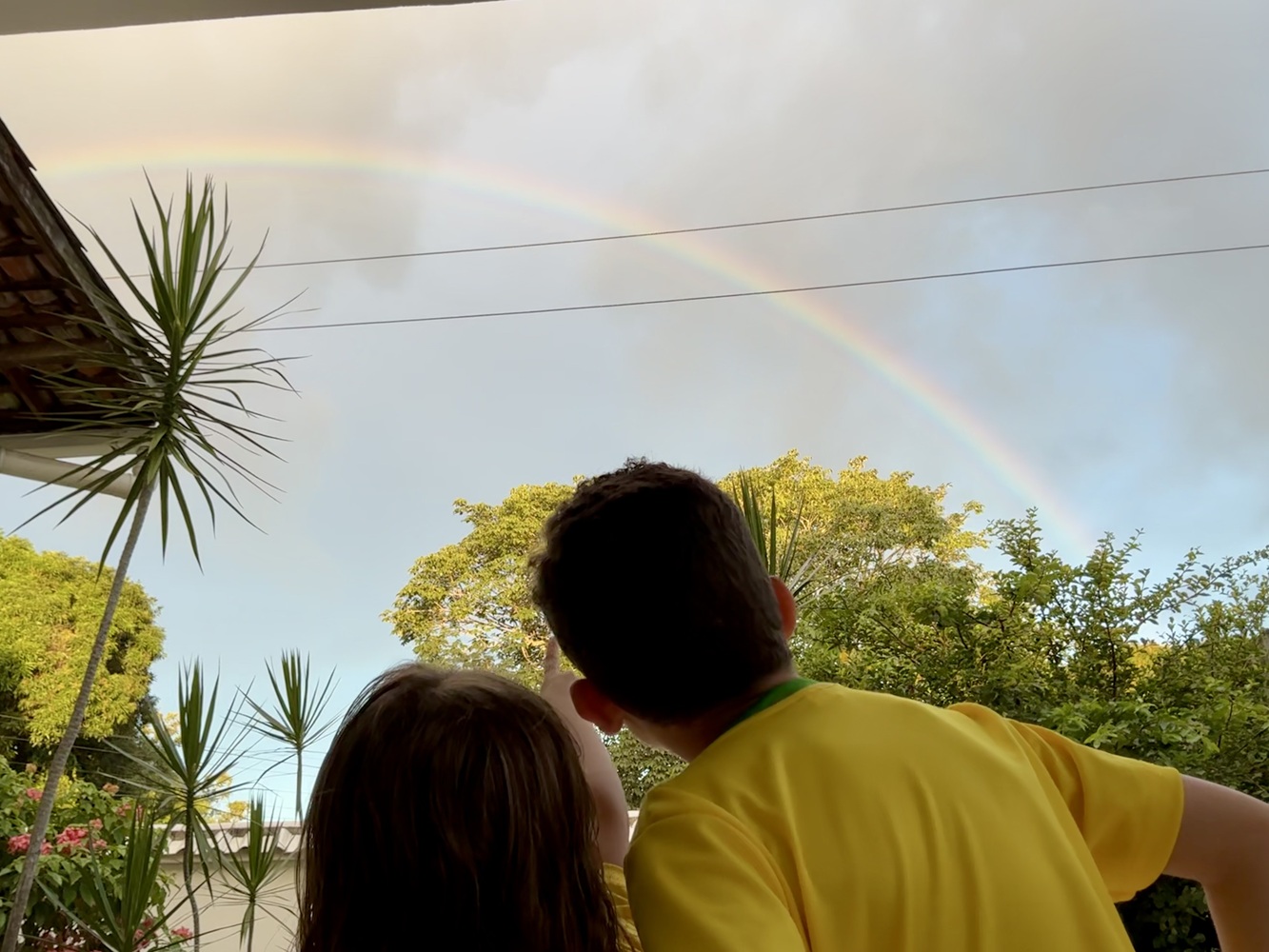
This is a pioneering, family-led citizen science project that originated in rural Igarassu, Pernambuco, Brazil. Conceived by two young researchers—Sandeji (age 7) and Maria Clara (age 5)—with the support of their parents, the initiative demonstrates how families can drive the collection of high-quality ecological and geospatial data directly from their own backyards. Using drone-based aerial photogrammetry via the GeoNadir platform, the family mapped a flight path connecting their home to their grandmother’s house, transforming a personal journey into a standardized cartographic dataset designed to visually bridge the distance between family members. The project integrates these high-resolution aerial maps from GeoNadir with ground-level biodiversity monitoring on iNaturalist.
Achieving a unique interdisciplinary approach, the project blends science, literature, and digital art. The family maintained a physical field logbook to record all technical and ecological observations. To ensure universal accessibility and offer a complete immersion into how the project unfolded from the very beginning, these daily logs were transformed into a sequential illustrated storybook. Leveraging generative Artificial Intelligence (AI) for digital design, the family co-created visual narratives where the young researchers and their parents are depicted as active characters, with each page representing a single day of the expedition. They present these datasets in YouTube videos featuring soundtracks performed by Sandeji and his father (on flute, piano, keyboard, and guitar).
Our mission is to inspire families around the world to explore, map, and protect their ecosystems through authentic cultural and scientific exchange.
Ticket Required: No
Minimum Age: 13
Languages: English