 We're in beta! If you find a bug or have feedback, let us know in our

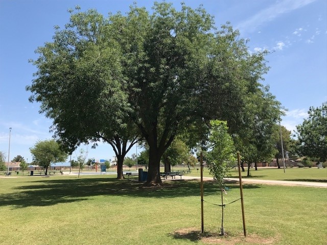
Tempe & Guadalupe Community Tree Map
Achieve a 25% citywide tree and shade canopy by 2040
In a specific area
- Ongoing
More Information
The City of Tempe has developed an Urban Forestry Master Plan and Tree Canopy and Equity Maps, supported by a City Council Performance Measure aimed at enhancing the tree and shade canopy throughout the city.
The performance measure, Tree and Shade Canopy – 4.11, sets a goal for the City of Tempe to achieve a 25% citywide tree and shade canopy by 2040, encompassing both city-owned and private properties.
The environmental, economic, and social benefits of Tempe’s urban forest and green spaces are crucial for the city’s sustainable growth and development. While the city is focused on improving species and age diversity by maintaining existing mature trees and planting new ones, it only manages a small portion of the total land in Tempe. The majority of land ownership is held by private residents, school districts, religious organizations, and commercial properties.
To achieve the citywide canopy goal and ensure a cooler and more comfortable lifestyle in Tempe, a collaborative public-private partnership is essential. By planting and registering trees, residents and organizations can contribute to tracking progress and identifying underplanted areas, ensuring an equitable distribution of shade canopy across all neighborhoods.
Ticket Required: No
Minimum Age: 13
Languages: English